
LiDAR 3D Property Scanning & Appraisal App Development
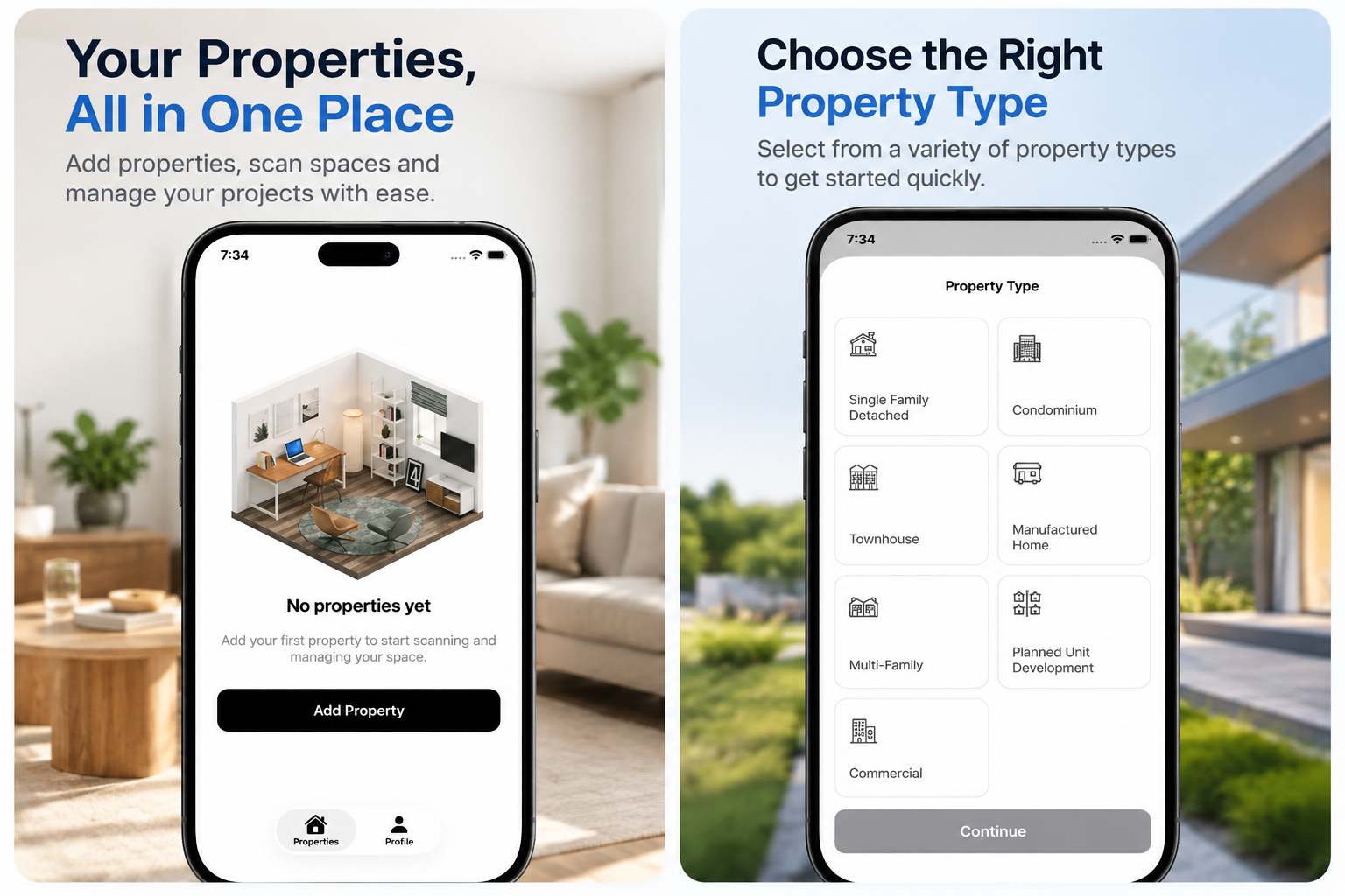
BoxLi Mobile is an advanced LiDAR property scanning app that helps real estate professionals capture accurate measurements, generate ANSI-compliant floor plans, and create detailed property reports using compatible iPhones and iPads.
BoxLi Mobile is an innovative LiDAR-based property scanning and real estate appraisal mobile application designed to modernize how property professionals capture building measurements, generate digital floor plans, and organize inspection data. Built for real estate appraisers, property inspectors, data collectors, and valuation professionals, the platform combines advanced 3D scanning technology with intelligent property measurement and reporting tools. Using LiDAR-enabled iPhones and iPads, users can scan interior spaces, capture room dimensions, identify property layouts, and create detailed digital floor plans directly from their mobile devices. The application supports ANSI Z765-oriented floor plan generation, helping professionals prepare standardized measurements and area calculations for residential appraisal workflows. Beyond floor plan creation, BoxLi Mobile allows users to document property characteristics, capture photographs, record observations, and organize essential building information during on-site inspections. Its intuitive scanning experience helps simplify property data collection while reducing reliance on manual sketches, repeated measurements, and paperwork. With its integration of 3D room scanning, automated area calculations, property inspection documentation, and real estate appraisal technology, BoxLi provides a convenient digital solution for collecting structured property information and preparing professional reports.
Designed to streamline real estate valuation and property inspection workflows, BoxLi combines LiDAR 3D scanning, AI-powered property data processing, digital floor plan editing, and professional appraisal reporting within a connected mobile and web platform. The application enables users to scan multiple rooms and floors, capture detailed property geometry, and generate room-by-room measurements and area breakdowns. Its intelligent processing tools organize property information, including room labels, ceiling heights, structural boundaries, and building characteristics, to support more consistent documentation. BoxLi also features an integrated web dashboard where professionals can review captured scans, edit floor plans, verify room dimensions, examine 3D models, and prepare structured property data before generating final reports. Its AI-assisted property analysis and data validation tools help identify missing or uncertain information that may require additional review. For appraisal professionals, the platform supports ANSI-compliant measurement workflows and UAD 3.6-oriented property reporting, helping users prepare detailed property records suitable for modern real estate valuation processes. Offline scanning capabilities allow inspectors to capture property information in locations with limited connectivity and continue processing once a connection becomes available. BoxLi demonstrates how custom LiDAR scanning app development, AI-powered real estate software, digital property inspection applications, and mobile appraisal solutions can transform traditional property measurement workflows. By combining mobile spatial scanning, structured data capture, editable floor plans, and professional reporting tools, BoxLi delivers a connected property technology solution that helps appraisers, inspectors, and real estate professionals manage property information more efficiently.


-
Find us
Office no-14, Prosperity Arcade, D-229, Sector 74, Mohali, Punjab-160071
-
Email us
admin@appcodie.com
appcodie@gmail.com
-
Phone support
+ (91) 97798 00512